NAVIGATION
www.parrsboroshoredays.ca
– A Tribute to Kerr
– – Kerr Ventures
– – – Kerr Ventures 2: Birch Cove (This Page).
DRAFTING…
Sep 29, 2011, a venture organized by Kerr to Birch Cove in the then proposed Raven Head Wilderness Area (formally designated a Protected Area in 2012). Participants: Kerr Canning, geologist Ken Adams & his spouse Etta, Apple River Birder Kathleen Spicer and Me (David Patriquin)
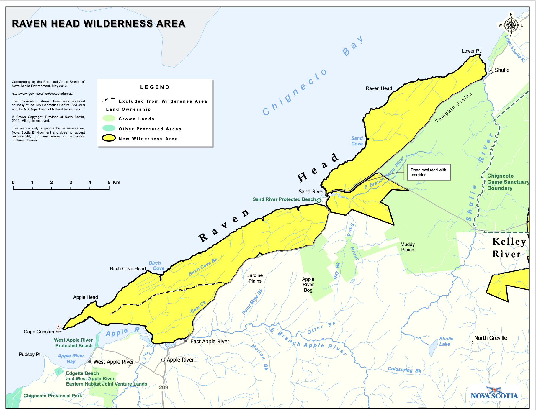
Map of Raven Head Wilderness Area (fromNS Protected Areas)
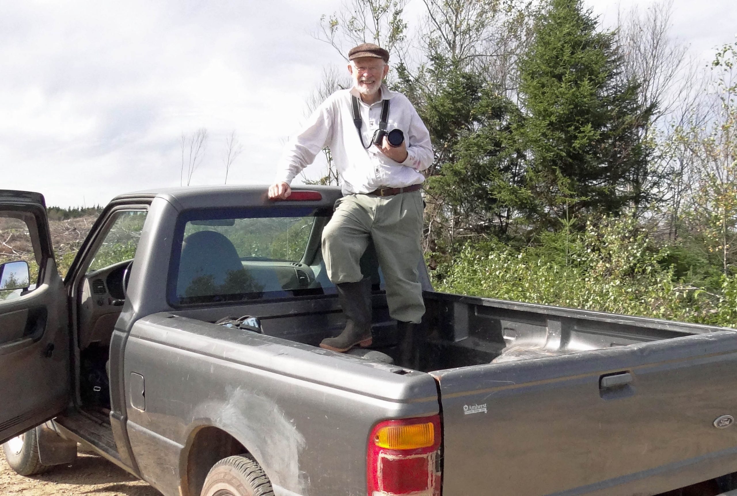
Kerr ready to Go!
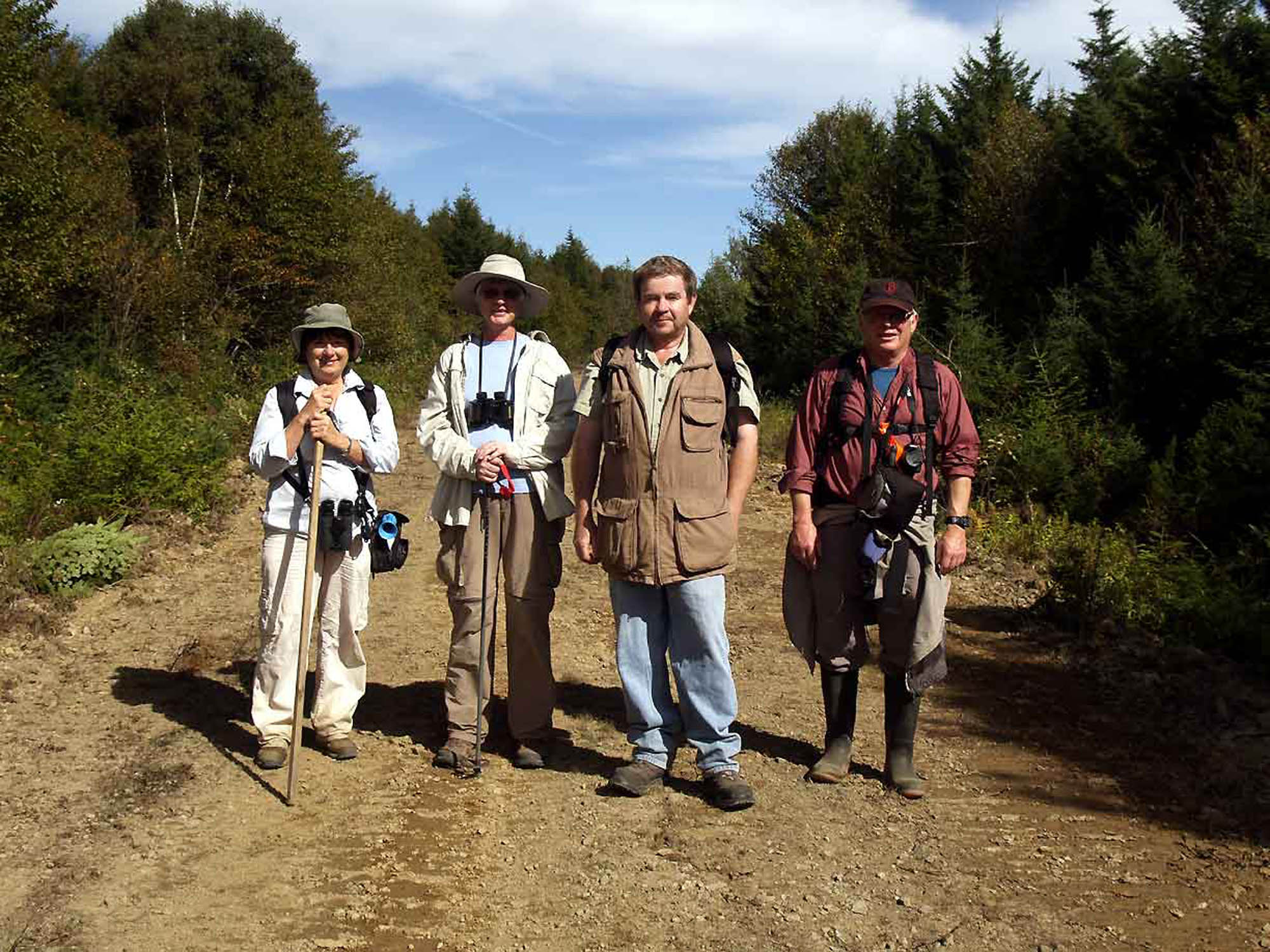
The Rest of Us. Kathleen (left) had a bear horn that a fishing boat could hear through the fog 10 knots away.
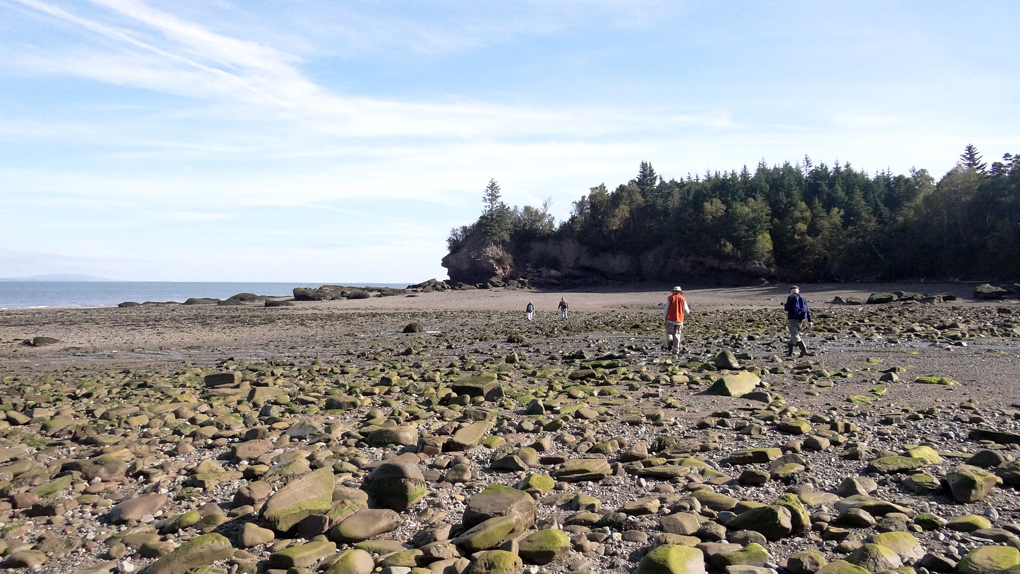
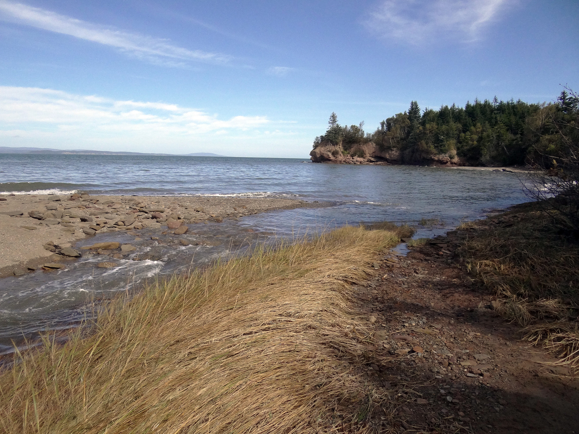
The beach at Birch Cove. This area was pretty inaccessible until logging roads leading to within about 500 m of Birch Cove were built recently. It supported a small community in the 1800s and earlier, not since.
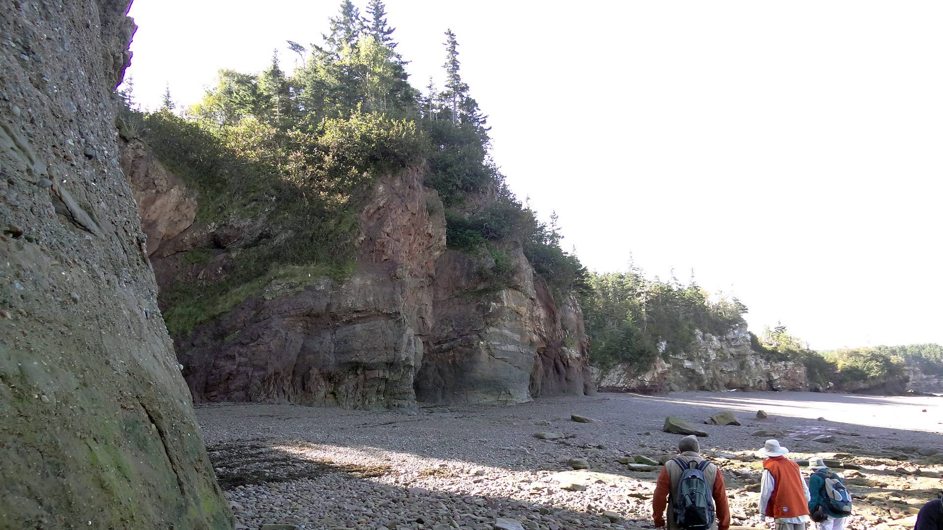
Ken tells us that the geology is similar to that at Joggins, but with different “chapters”. The exposed cliffs expose carboniferous deposits with various thickness of glacial til on top.
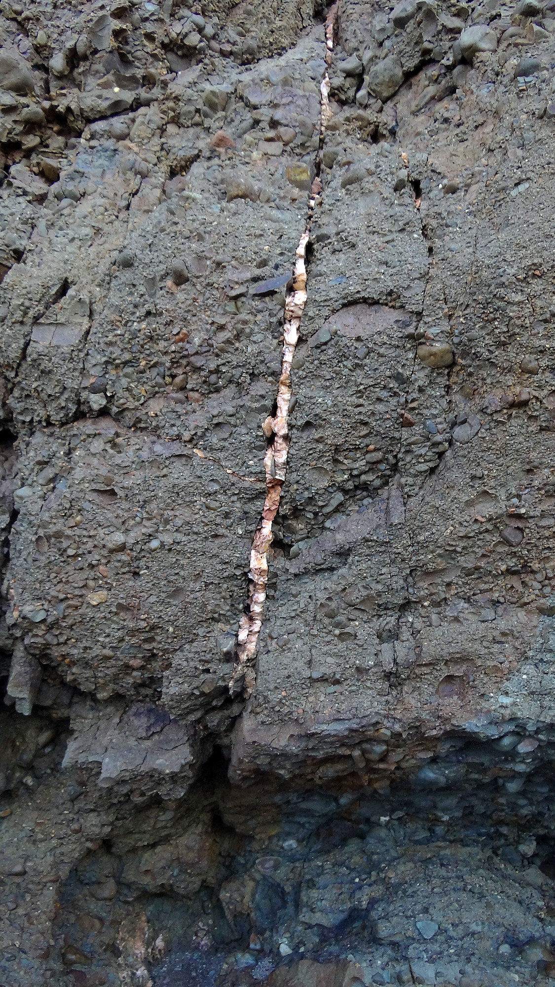
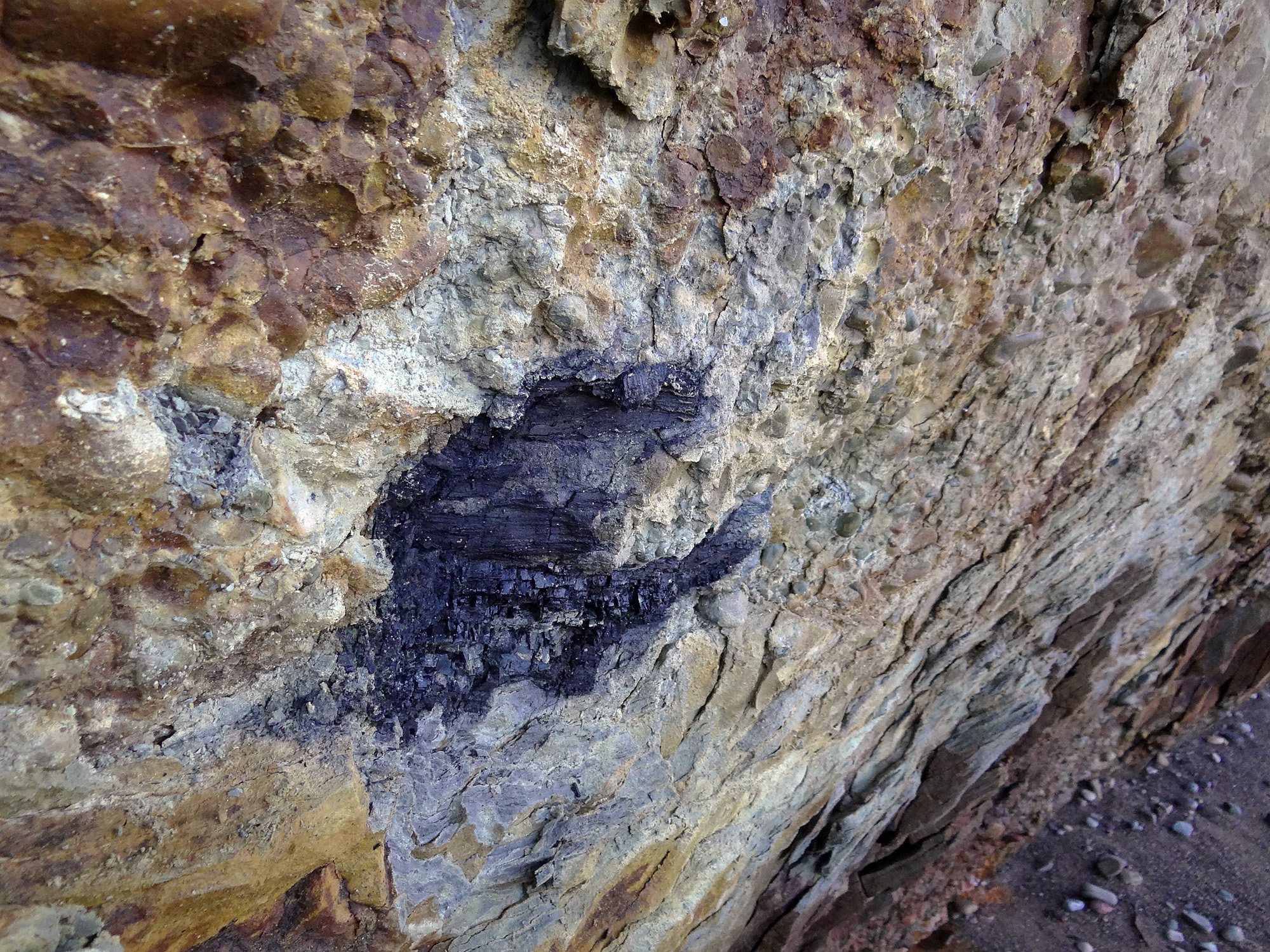
A vein of barite going through carboniferous
riverine deposits. It formed some 300 mya under pressure created by continental plates grinding together.
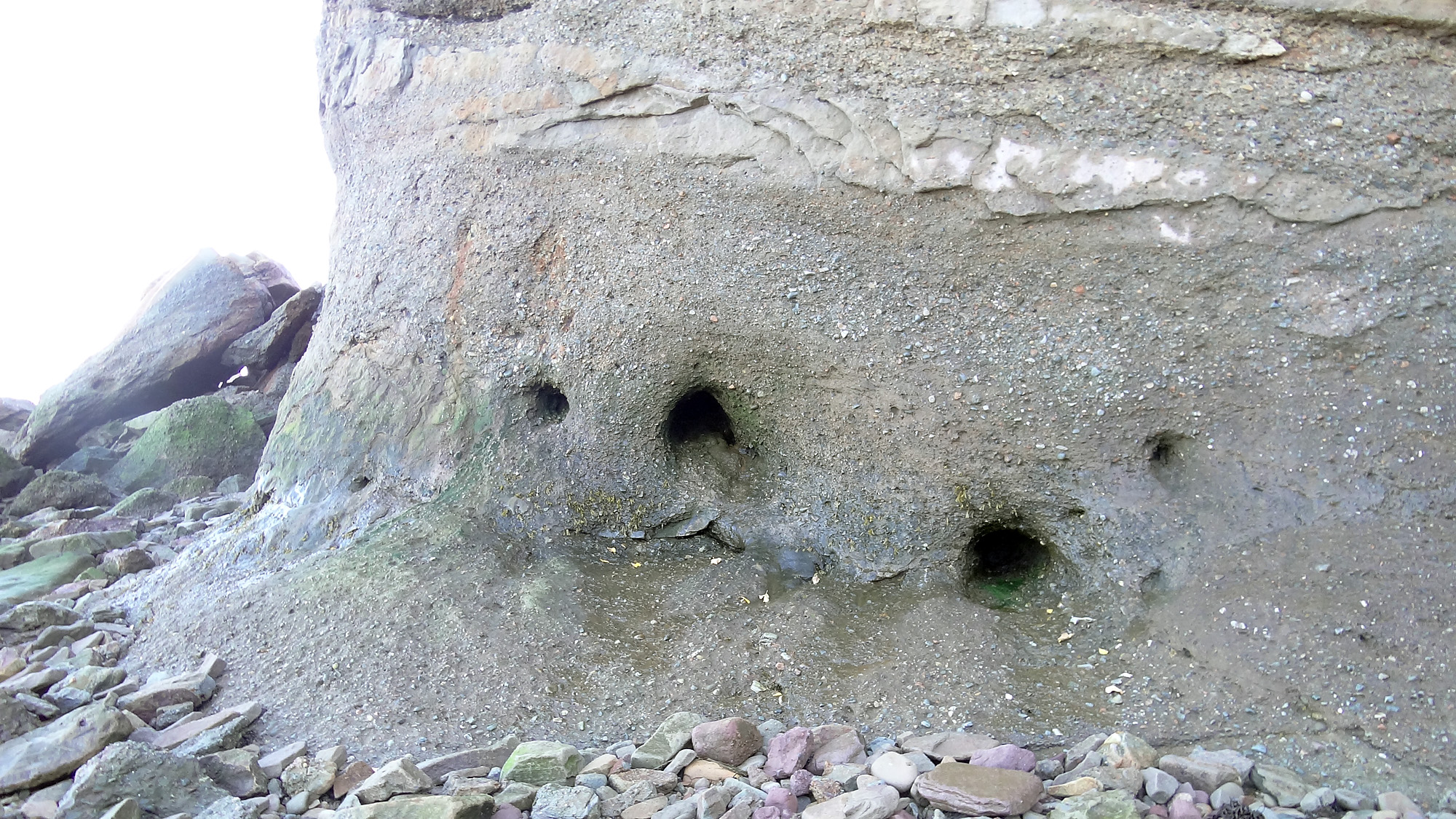
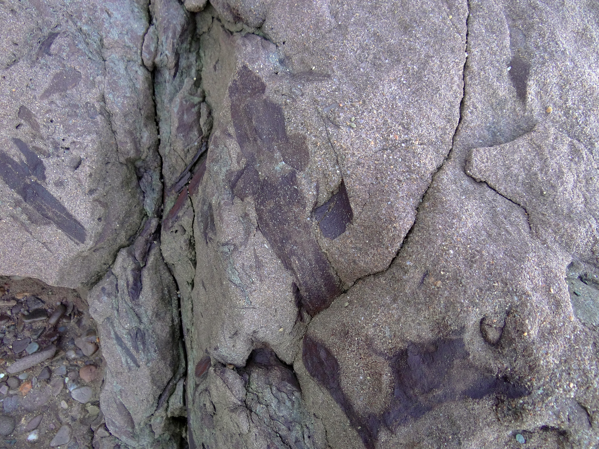
These holes were once occupied by tree trunks, dig ni a bit and you get bits and pieces of them (circa 300 milion years old).
Remnants of an early conifer
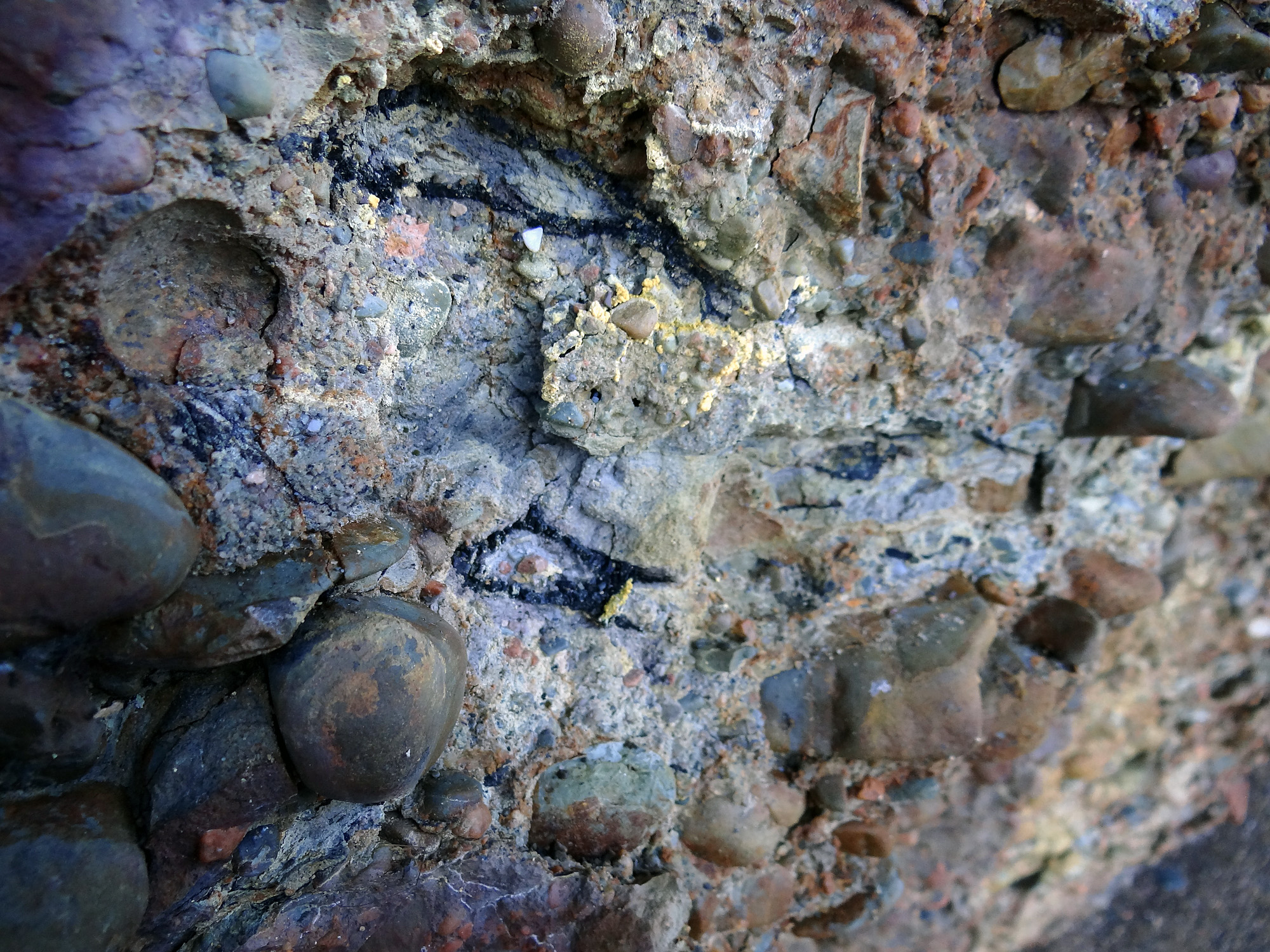
Colorful rocks. Alot going on here. The yelow is sulfur.
Calamites (horsetails)
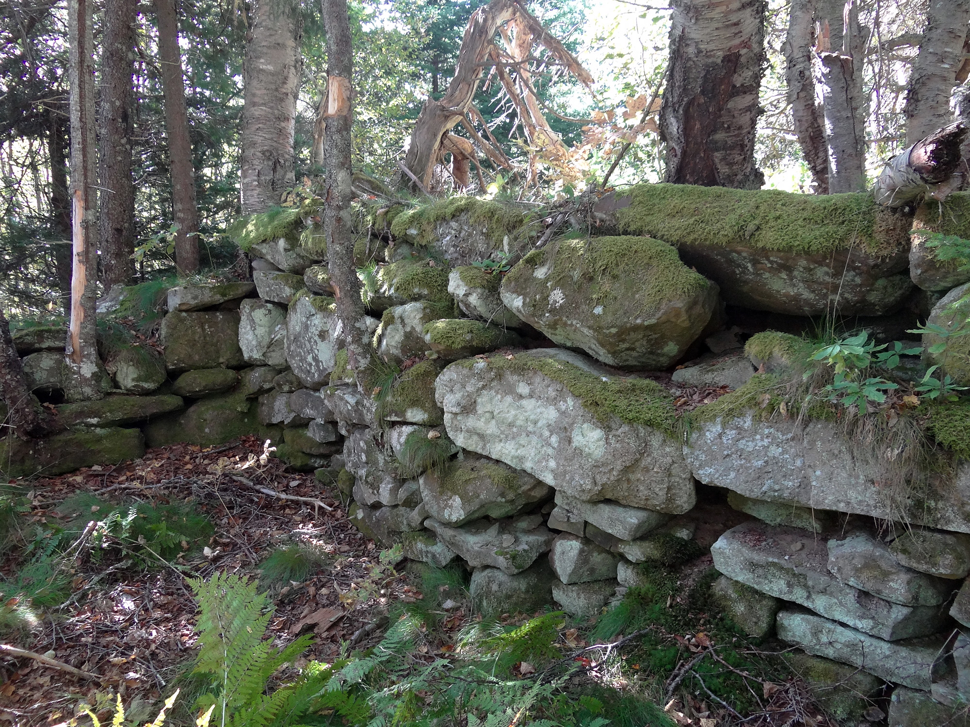
An old foundation in the woods. They certainly knew how to move big rocks in those days!
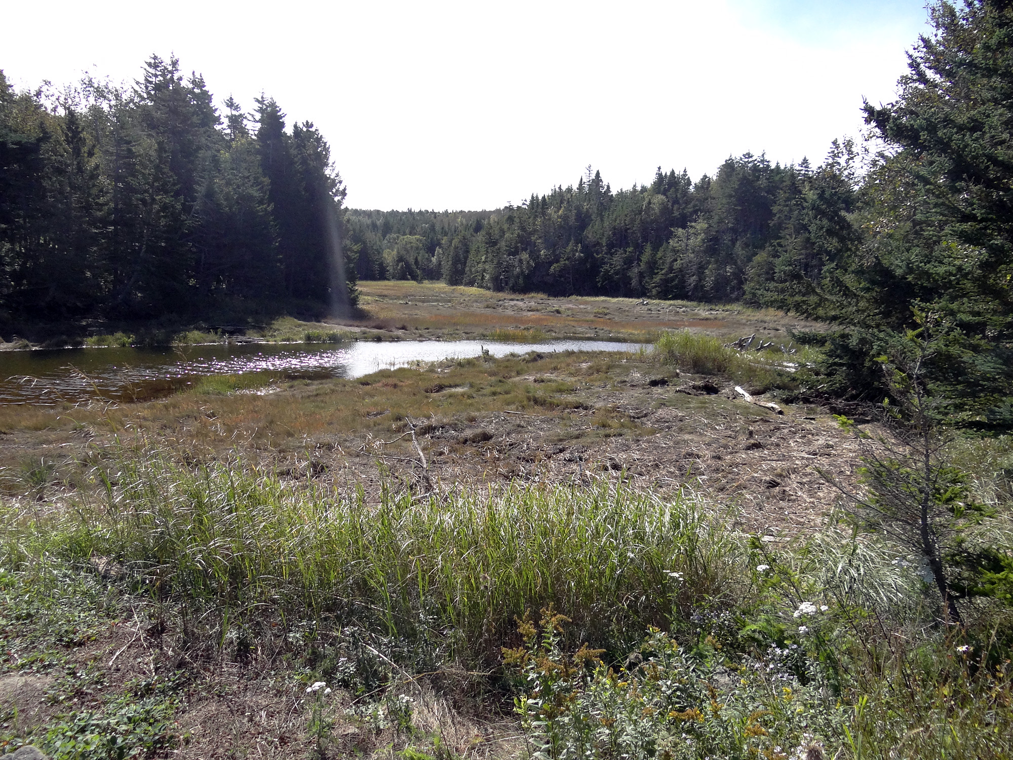
Saltmarsh at Birch Cove. Where there’s a salt marsh with open water running through it, Kerr will look for signs of a mill…
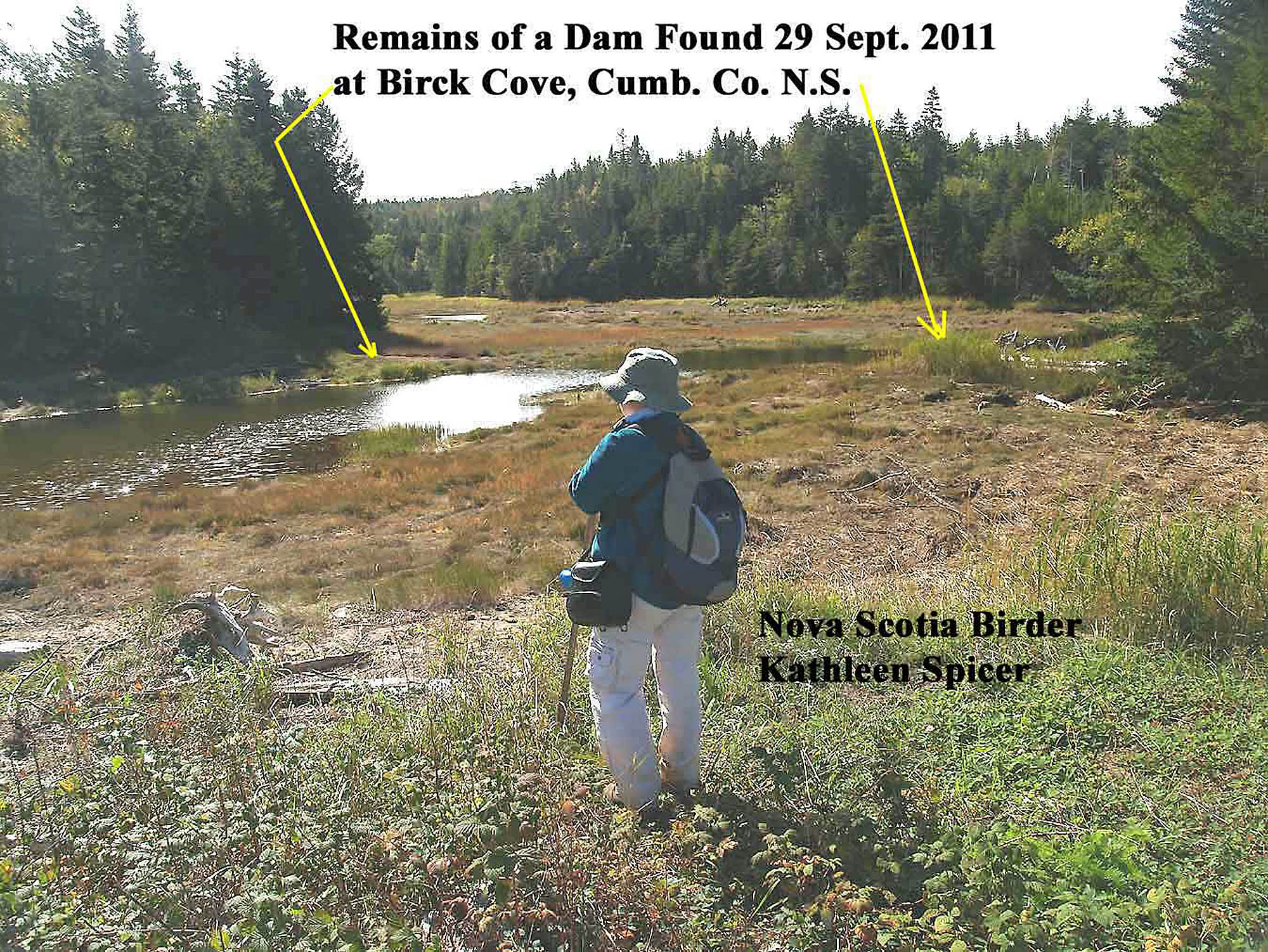
Seek and you will find! From Kerr’s files
Also in Kerr’s files.
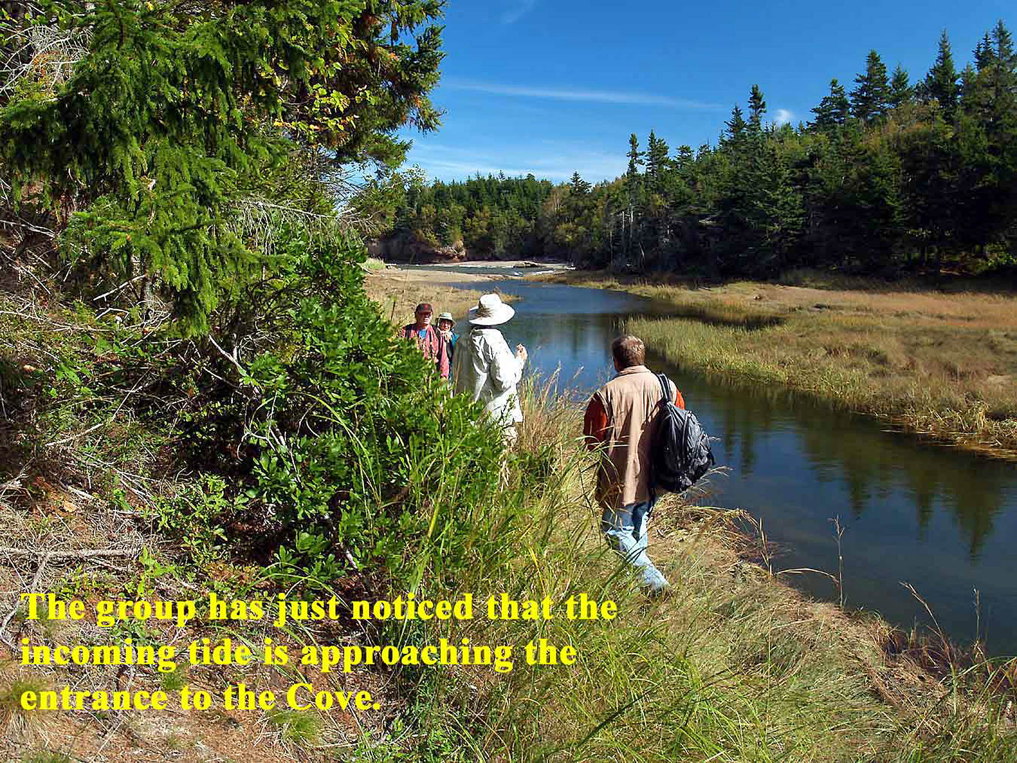
Tide’s up. We barely made to across the mouth of the salt mash before the rising tide made it impassable!