DRAFTING… (APR 30, 2026…)
Pic 1. We set out to go up river, here at 10:06 am (we were at the causeway at 9:36 am) Click on images to view larger versions
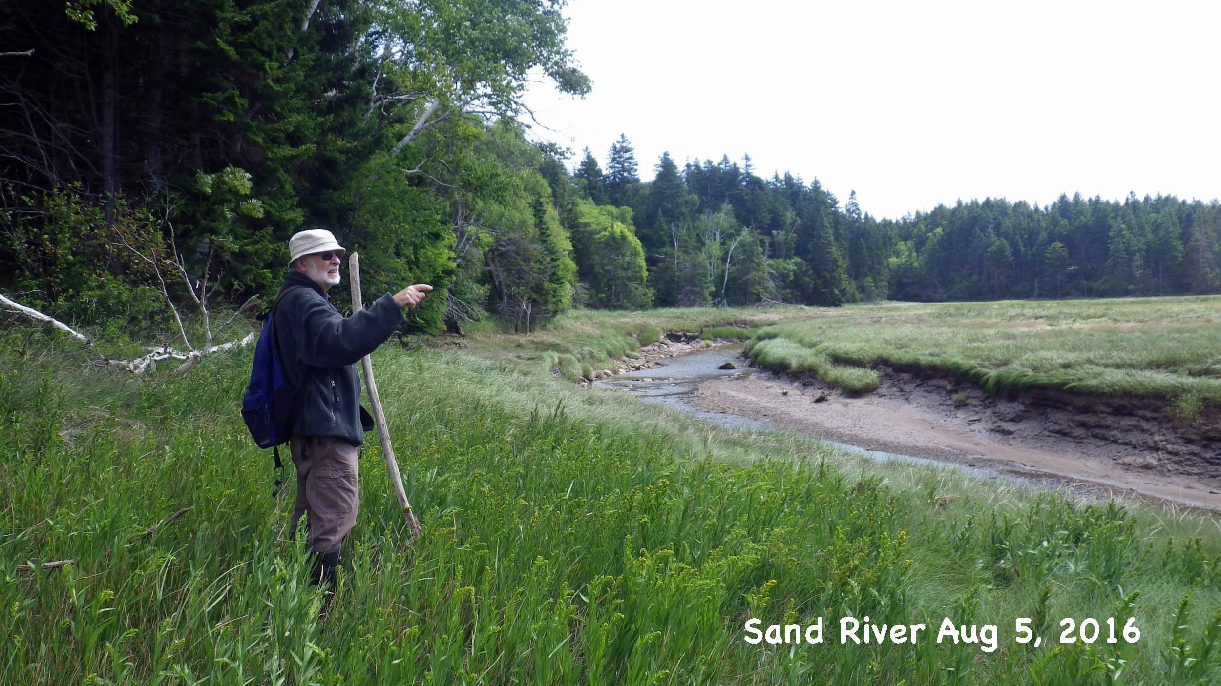
Surely one of my most memorable trips with Kerr was that to Sand River on Aug 5, 2016. He def. wore me out slugging though marshes, steep slopes and some dense forest.
Unfortunately while I say “most memorable”, that doesn’t translate to a lot of memory left in my brain. Mostly it consists images of a wonderous place.
Fortunately, on the other hand, I have a lot of digital memory of the event including recordings of discussions with Kerr (my original “notes” from the excursion), and I posted pics from the day in a Google Photo Album. On the unfortunate side again I didn’t comment on each of the pics while my memory was fresh, I posted them primarily to share them with Kerr. But do have a scan of the pics in that album to get a sense of the place,
Kerr writes about Sand River on this website under parrsboroshoredays.ca/maps/gsc-maps/examples// From that page:
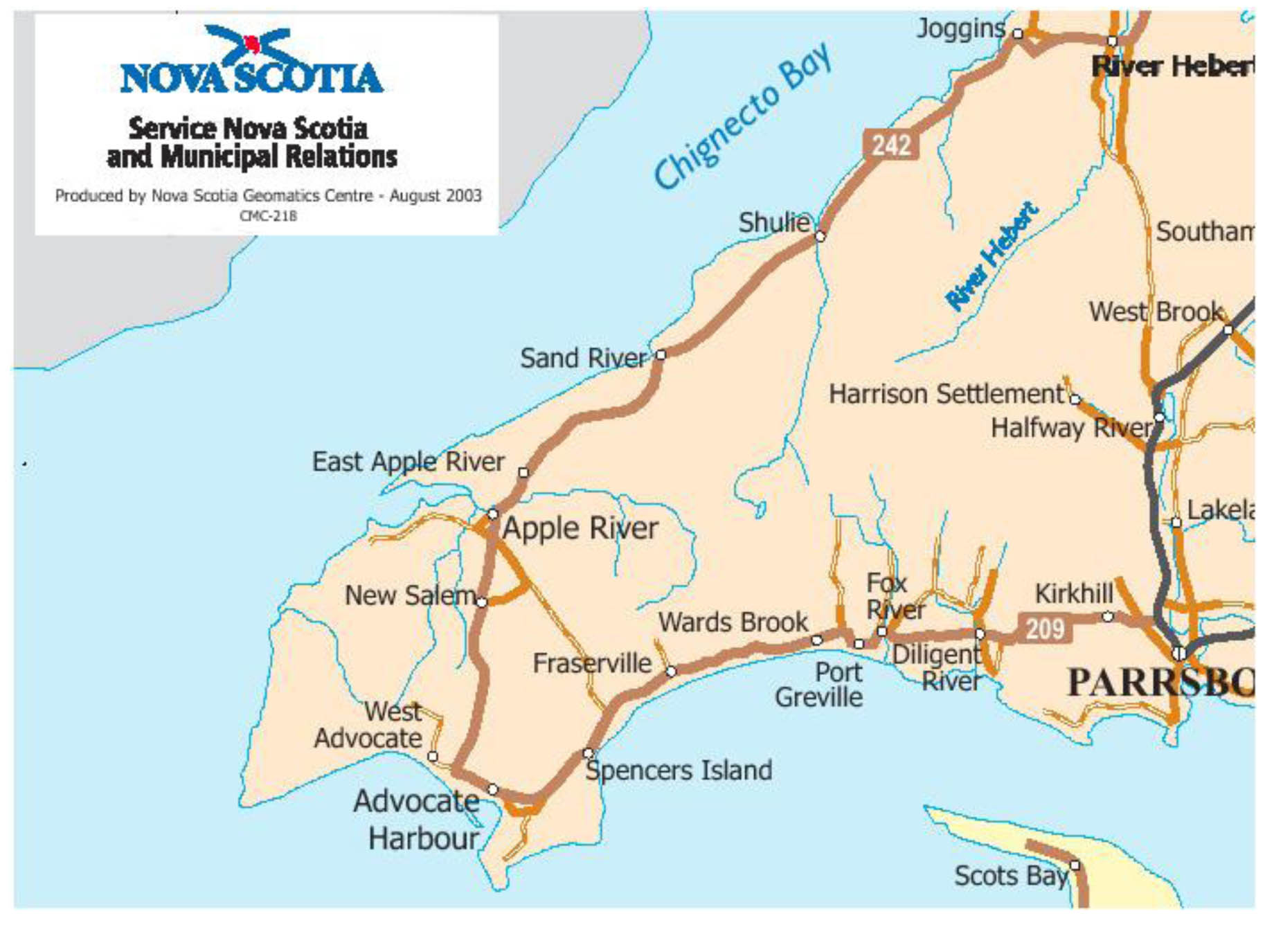 Fig.1: The Western End of Cumberland Co. on the Upper Bay of Fundy.
Several examples illustrate the value of the GSC Maps as tools for locating sites of human activity that are no longer in existence. The examples deal with sites found in the western portion of Cumberland Co. (Fig.1).  Fig. 2: The Old Road to Sand River. Taken from the 1905 Faribault-Fletcher Southhampton Sheet No.82. See Examples for source
Example One: Timber Driving Dams and Fresh Water Meadows These maps bring to memory the mysterious decaying dams that were located on many of the streams and rivers flowing through the woods. The maps also remind such a researcher of fishing in what remained of large meadows where early settlers once grew hay. Faribault and Fletcher have recorded the locations of these almost forgotten sites of late nineteenth and early twentieth century activity. The dams, known as timber driving dams, were part of the lumbering industry and the meadows attracted settlers because natural grasslands provided hay that was often in short supply.  Fig. 3: Fig. 3. Timber Driving Dams and Lumber Camps. See Examples for source Locations of timber driving dams, millsites, and meadows recorded on the GSC maps represent possible archeological sites. Because these sites are on rivers and streams they are also part of the water power/ water resources topic. A waterpower publication that may be relevant to archeology was published ca 1923 by what was then the Water Resources Branch of the Department of the Interior. The publication is a report titled the History of Water Power Legislation and Administration in Nova Scotia. This report and the list of waterpower legislation provided in an appendix warrant investigation by researchers who have an interest in finding archaeological sites located along streams and rivers. [6] Two former fresh water meadows, Jenks Meadow and Tipping Meadow, are marked on Fig.2. A road from Harrison Settlement to Sand River (Fig.1) passes close to each meadow. Families no longer live on or harvest hay on these meadows and nothing remains of the former lumbering village of Sand River. Driving dams and lumber camps are shown on both Fig.2 and Fig.3. Little remains today of these once numerous sites of labour intensive activity! |
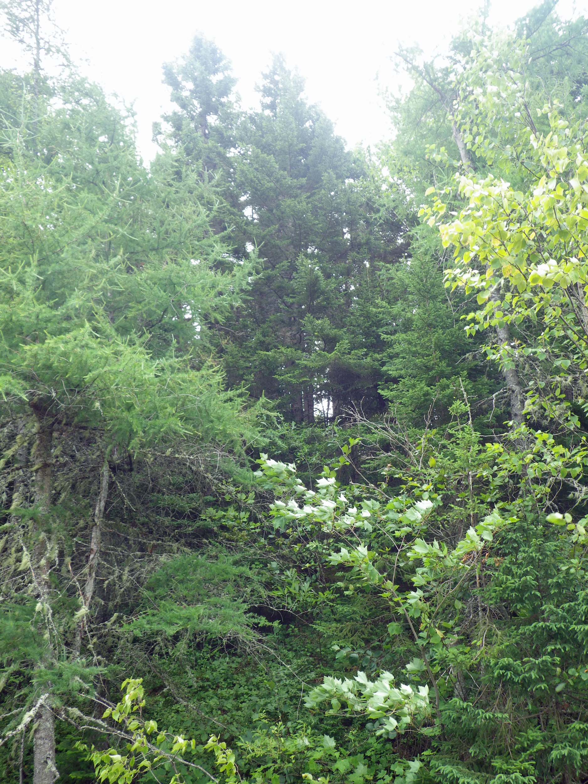
Pic 2 Forest as we approach Sand River
I italicized the third to last sentence above. It made me remember the sense I had walking through the area talking Kerr of how I could imagine those communities of old, and how that sensitized me to looking for signs of them on the landscape – just as Kerr did continuously.
Below is a recording as we approached Sand River
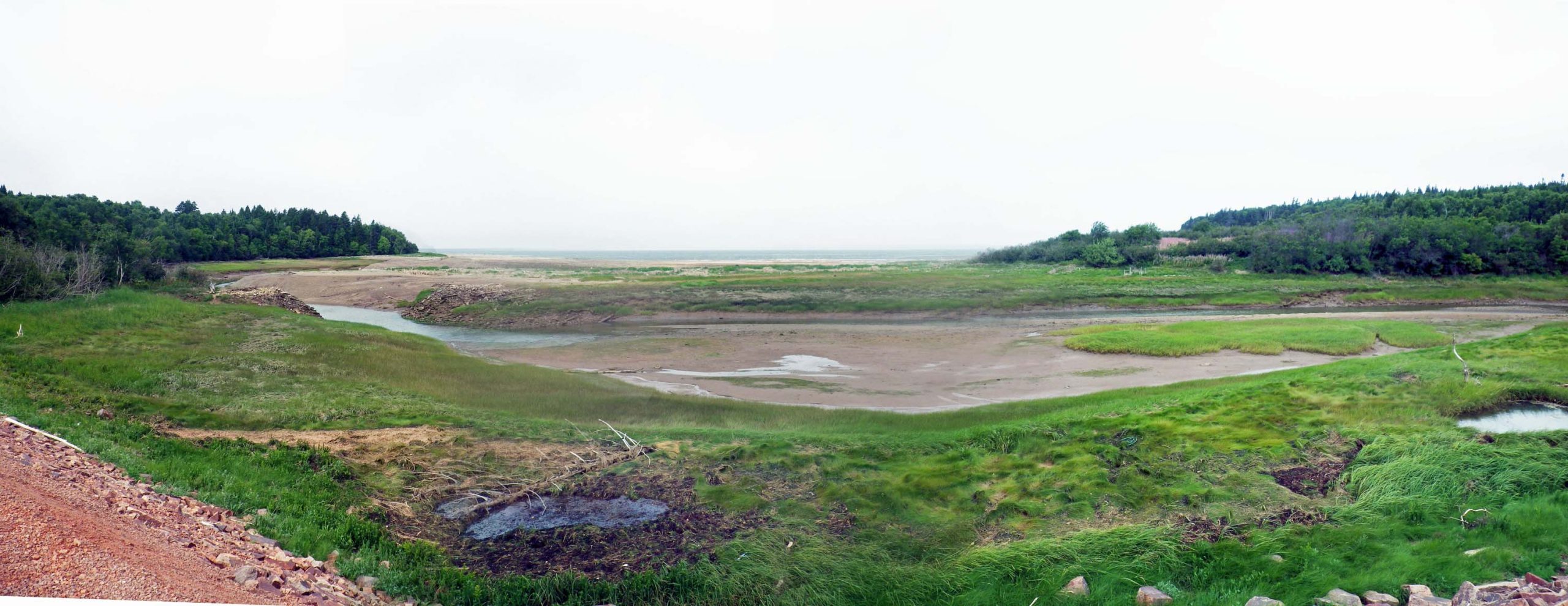
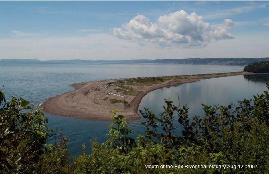
Pic 3. The Sand River Estuary, 9:36 am Aug 5, 2016
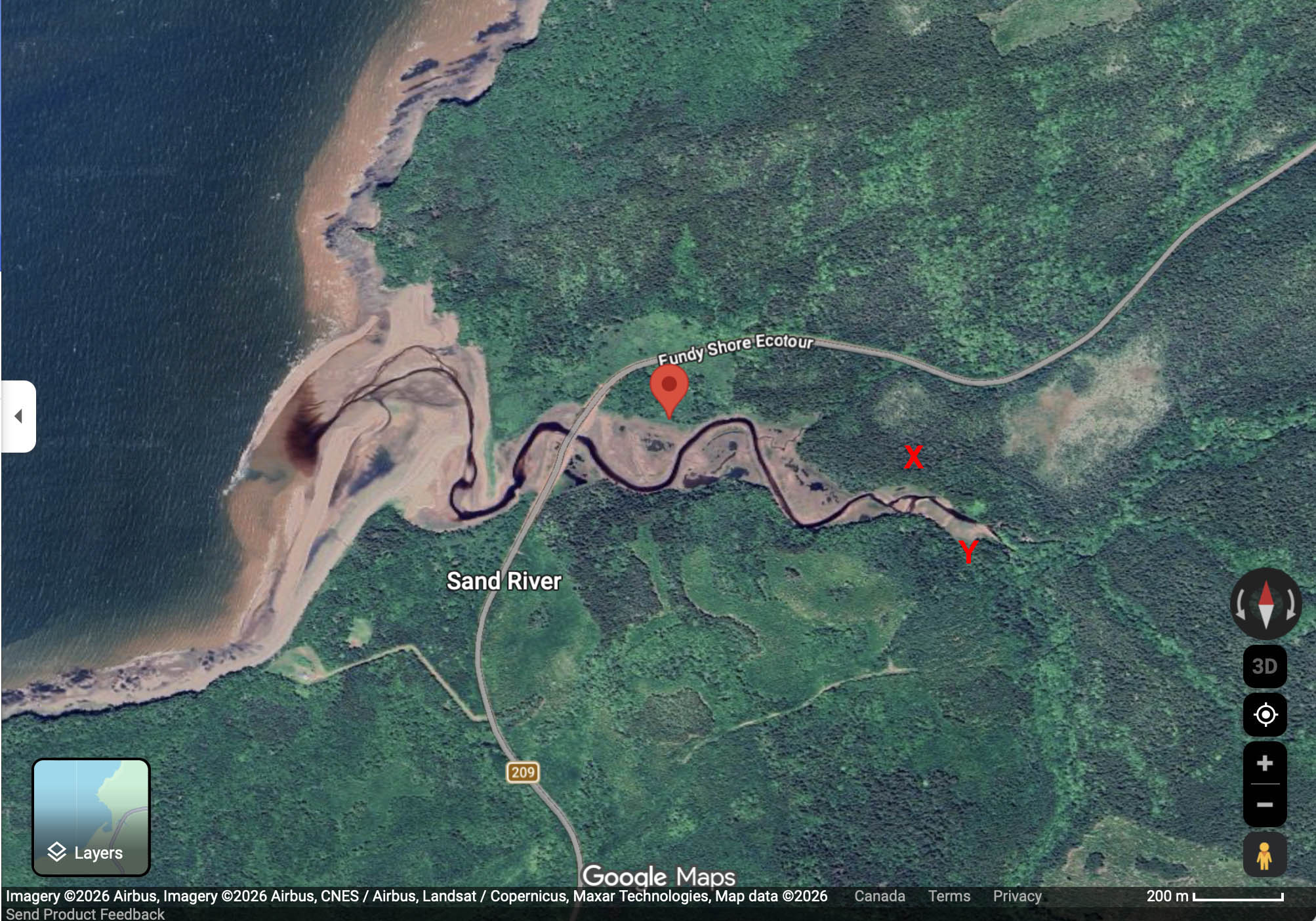
Pic 4 Google Map showing location of Pic 1 (bubble), Pic 5 (X), Puc 6 (Y)
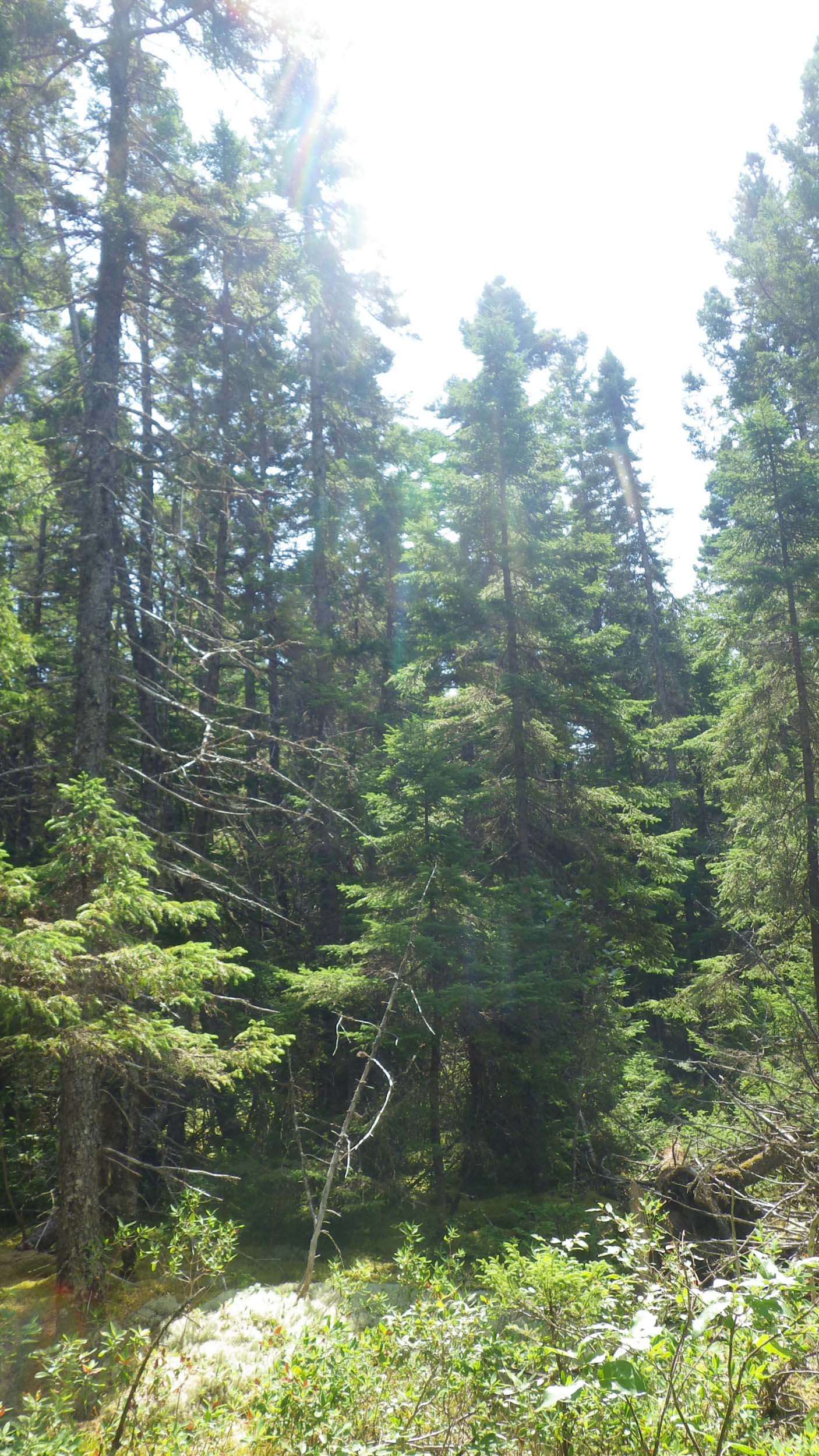
Pic 5. Up River 11:13 am
At this site where there were signs of logging in years past, I asked Kerr about the last horse logging in this area… we go back to WWII* and when there was a “South American Wharf” in Apple River.
*There is reference to the sinking of the Graf Spree at River Plate, Montevideo, Uruguay
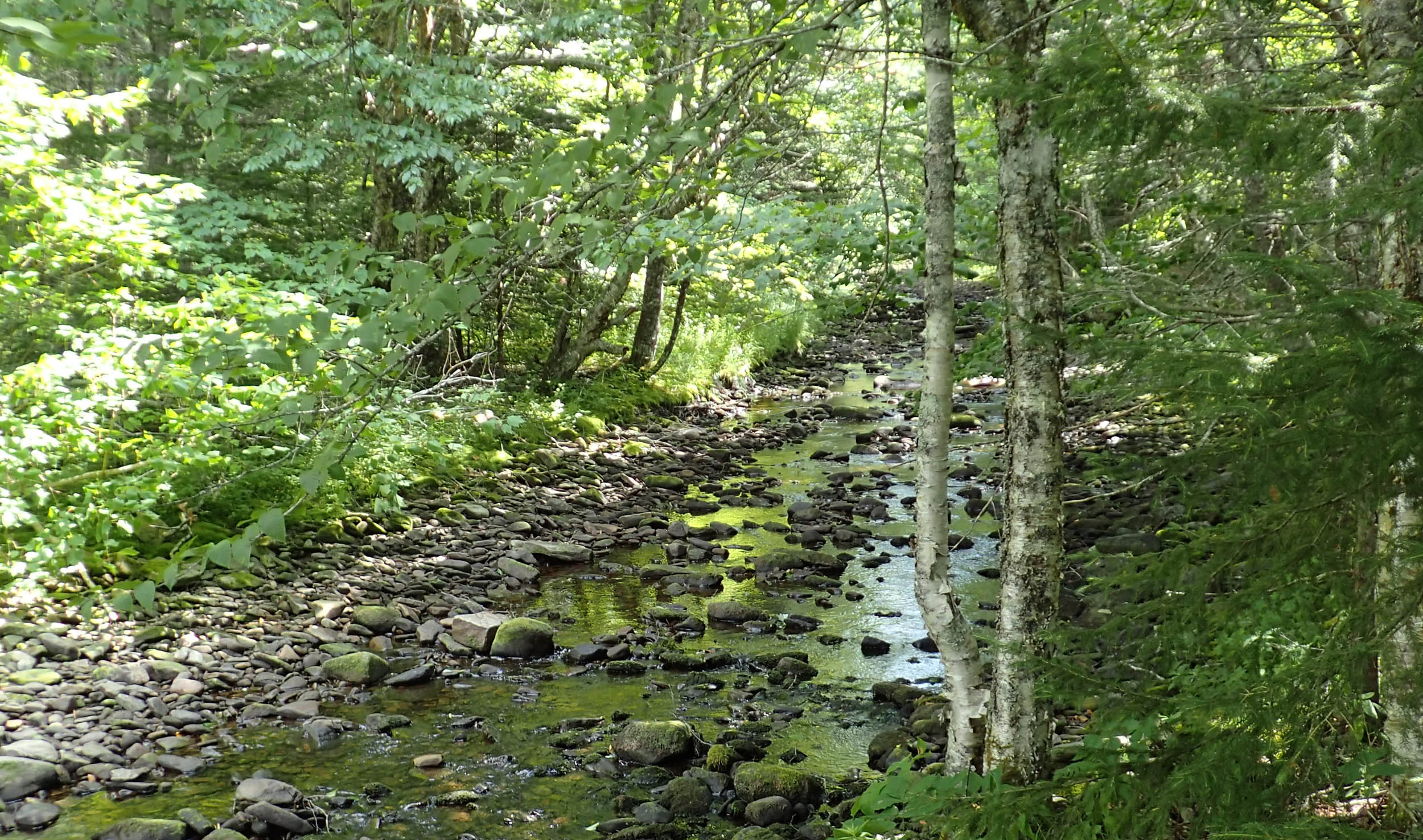
Pic 6. A Magic Place. View more pics in Google Photo Album.